
Is the Nile longer than the Amazon?
| Reference | Dimension |
|---|---|
| Nile | 6,650 km conventional length ≈ 6 650 km; variable |
| Amazon | 6,400 km conventional length ≈ 6 400 km; disputed |
Calculation: 6,650 km ÷ 6,400 km, after conversion into the same unit. The ratio calculated from the catalogue data is about 1.039.
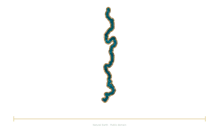
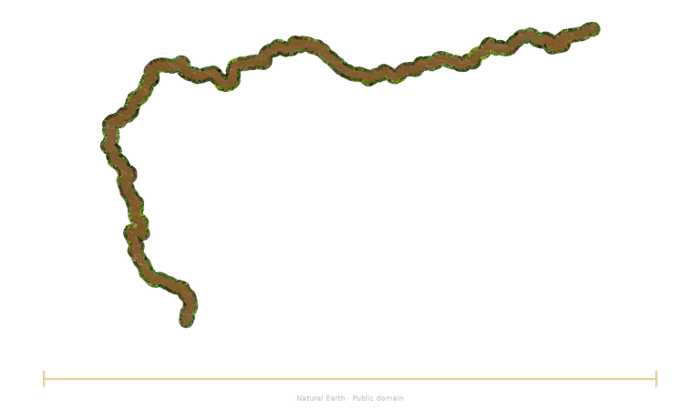
Both illustrations use a common factor for the stated dimension. Positions aid reading and do not represent physical separation.
The independent bars compare documented lengths. The maps follow available courses, simplified and sometimes partial; their widths and banks are illustrative.
Check the conventions
Nile
The Nile includes the White Nile and Blue Nile joining at Khartoum, then crosses Egypt's valley and delta before reaching the Mediterranean. The 6 650 km reference follows a convention for the source branch and route. The Nile and Amazon systems do not have a single length independent of measurement choices; no certain record is claimed here.
Length depends on the source branch, route and mouth boundary; a rounded value that alone cannot settle a comparison with the Amazon.
Amazon
The Amazon drains a vast South American basin and receives many major tributaries before reaching the Atlantic. Its discharge is exceptional. The length of 6 400 km is a conventional reference: the choice of source, route and mouth varies between studies. This value does not settle a length ranking against the Nile.
Length is debated; some studies propose more than 6 900 km depending on the sources and routes adopted. The 6 400 km reference is not a definitive measurement.
Choose another reference
Replace an object in the explorer, keep the common scale factor and try predicting the new ratio before reading it.
Open the comparison →