
What does this number measure?
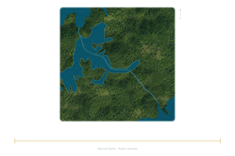
The Canal Authority describes a route of about 80 km between the Atlantic and Pacific. The map follows the main lines published by Natural Earth, with coastlines and lakes. The independent bar compares the navigation length; the widths of the channels and the textures are illustrated. The route is simplified and does not show every current approach, lock or parallel channel in detail.
Compare the stated dimensions
The comparison uses the number in each fact sheet: altitude, height, diameter, length or distance, depending on the reference. Two values in metres do not necessarily describe the same property.
Source and limitations
Representative or rounded dimensions according to the source; these are not a confidence interval.
Panama Canal: simplified map of the main route, with coastlines and lakes from Natural Earth, north at the top. The independent bar represents the reference navigation length; the canal's width and textures are illustrated. This drawing does not show every current approach, lock or parallel channel in detail.