
What does this number measure?
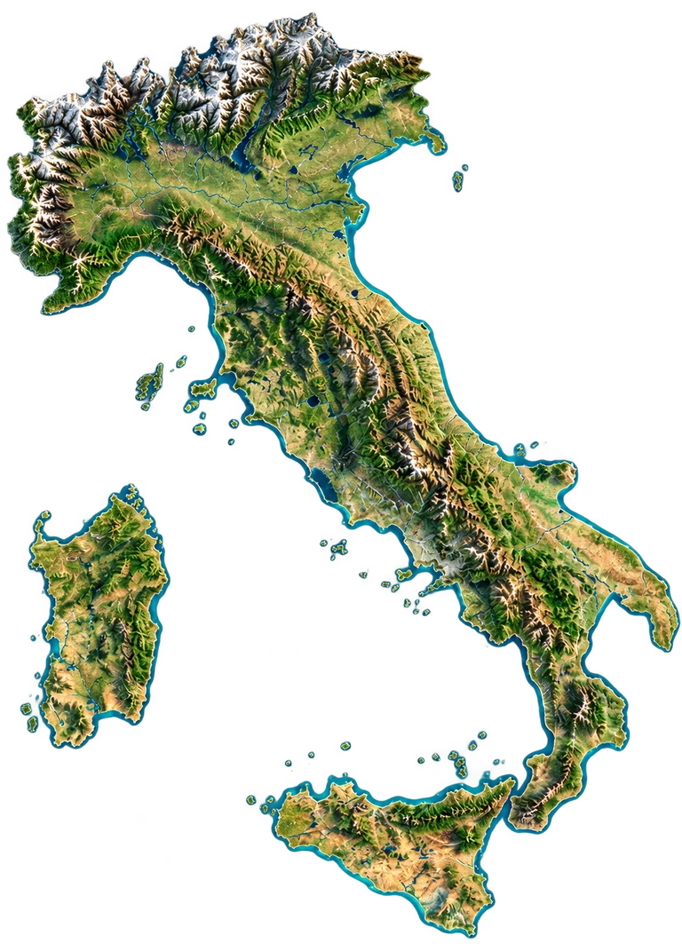
The ISPRA report describes a maximum length of approximately 1 200 km between Vetta d'Italia and Capo delle Correnti in Sicily. This order of magnitude is represented by the silhouette's height. Small outlying islands, including Lampedusa, are not included in this extent. It is neither the coastline length, a route length nor the country's area. The north-up view interprets the geography and terrain; it is not a navigation map, and its details and projection cannot be used to measure local distances.
Compare the stated dimensions
The comparison uses the number in each fact sheet: altitude, height, diameter, length or distance, depending on the reference. Two values in metres do not necessarily describe the same property.
Source and limitations
ISPRA, Environmental Data Yearbook 2012, Socio-Economic Framework: rounded maximum extent of 1 200 km from Vetta d’Italia to Capo delle Correnti. Indexed source consulted on 30 October 2026. Illustrative reference height, not a planimetric survey of the illustration.
Italy: interpreted north-up silhouette, including Sicily and Sardinia; small outlying islands excluded. The height depicts the rounded Alps–Sicily extent of 1 200 km; terrain details and local distances cannot be measured. Not photographic.