
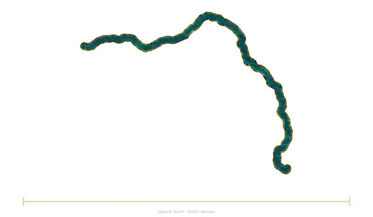
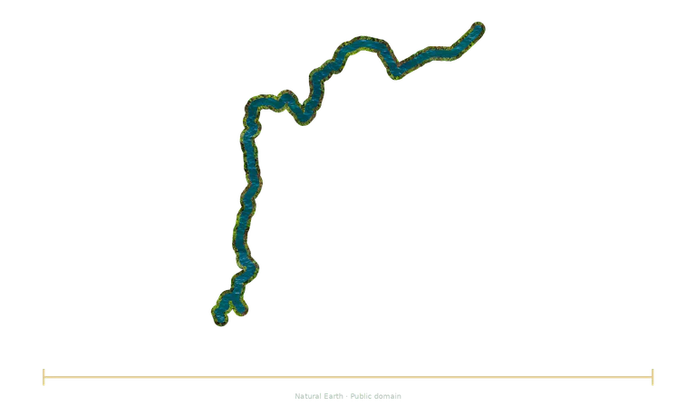
How does the Loire’s length compare with the Rhône’s?
| Reference | Dimension |
|---|---|
| Loire | 1,006 km river-course length ≈ 1 006 km |
| Rhône | 812 km course length ≈ 812 km |
Calculation: 1,006 km ÷ 812 km, after conversion into the same unit. The ratio calculated from the catalogue data is about 1.239.
Both illustrations use a common factor for the stated dimension. Positions aid reading and do not represent physical separation.
Check the conventions
Loire
The Loire rises at Mont Gerbier-de-Jonc in the Massif Central, then reaches the Atlantic through its estuary near Saint-Nazaire. Its basin crosses volcanic regions, plains and landscapes of sandbanks. The dimension follows its conventional course, including its meanders.
Rounded length depending on the chosen route; meanders and channels change.
Rhône
The Rhône rises in the Swiss Alps, passes through Lake Geneva and then continues through France. Its delta opens out in the Camargue region. The comparison uses a conventional river-course length; it does not measure a direct distance from the source to the sea.
Rounded value: some references give approximately 813 km, depending on their route and conventions.
Choose another reference
Replace an object in the explorer, keep the common scale factor and try predicting the new ratio before reading it.
Open the comparison →