
Is the Rhône longer than the Seine?
| Reference | Dimension |
|---|---|
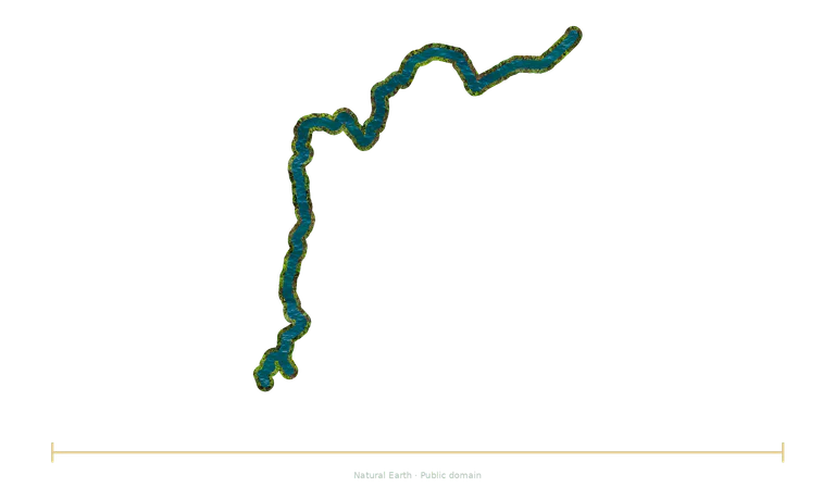
| Rhône | 812 km course length ≈ 812 km |
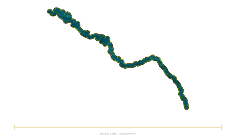
| Seine | 777 km river-course length ≈ 777 km; depending on convention |
Calculation: 812 km ÷ 777 km, after conversion into the same unit. The ratio calculated from the catalogue data is about 1.045.
Both illustrations use a common factor for the stated dimension. Positions aid reading and do not represent physical separation.
Check the conventions
Rhône
The Rhône rises in the Swiss Alps, passes through Lake Geneva and then continues through France. Its delta opens out in the Camargue region. The comparison uses a conventional river-course length; it does not measure a direct distance from the source to the sea.
Rounded value: some references give approximately 813 km, depending on their route and conventions.
Seine
The Seine rises on the Langres Plateau, flows through Paris and Rouen among other places, then reaches the English Channel between the Le Havre and Honfleur areas. The value of 777 km is a rounded reference; different descriptions of its course give slightly different values.
About 775 to 777 km depending on references and measurement conventions; this reference does not claim to fix a length to the nearest metre.
Choose another reference
Replace an object in the explorer, keep the common scale factor and try predicting the new ratio before reading it.
Open the comparison →