
What does this number measure?
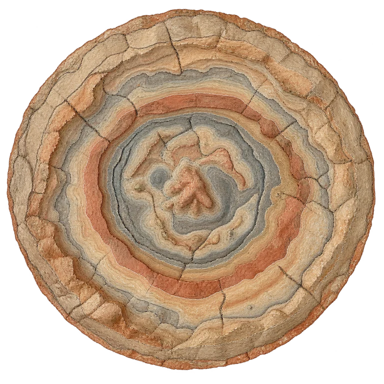
The Lunar and Planetary Institute describes an impact structure approximately 180 km in diameter, now buried beneath sediments and identified through geophysical observations. The drawing's outline represents this interpreted extent: the crater is not visible as an open bowl. The terrain and cross-section are explanatory; no depth dimension is given.
Compare the stated dimensions
The comparison uses the number in each fact sheet: altitude, height, diameter, length or distance, depending on the reference. Two values in metres do not necessarily describe the same property.
Source and limitations
Outline reconstructed using several geophysical methods. Boundary conventions and models give different extents; 180 km is a documented order of magnitude.
Schematic plan-view geophysical interpretation of the buried impact structure. Calibrated reference diameter; geological rings and textures are illustrative. This is not a surface view of a visible crater.