
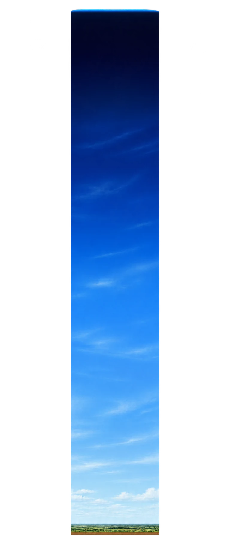
What does this number measure?
The Fédération Aéronautique Internationale uses an altitude of 100 km as a conventional boundary for spaceflight. The reference's vertical dimension runs from sea level to this altitude; it is neither an atmospheric thickness nor a solid object. The atmosphere gradually thins and has no physical cutoff at 100 km. Other organizations use different conventions. The width of the contextual diagram is not measured.
Compare the stated dimensions
The comparison uses the number in each fact sheet: altitude, height, diameter, length or distance, depending on the reference. Two values in metres do not necessarily describe the same property.
Source and limitations
A conventional value, not an observed material boundary. The reference concerns an altitude above sea level, not a distance from Earth's centre.
Schematic atmospheric column, without a horizontal scale. The conventional line's altitude from the sea-level mark is vertically calibrated; width, landscape and layers are illustrative.