
What does this number measure?
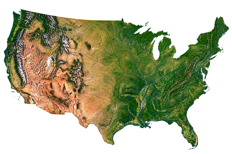
The silhouette shown consists of the 48 contiguous states and the District of Columbia; Alaska, Hawaii and overseas territories are excluded. The State Department's educational publication About the USA gives an approximate east–west extent of 3 000 miles, or about 4 800 km. The illustrated width is calibrated to this rounded reference: it is not a route, an area or a local distance that can be measured on this projection. The relief and outline are interpreted, not photographic.
Compare the stated dimensions
The comparison uses the number in each fact sheet: altitude, height, diameter, length or distance, depending on the reference. Two values in metres do not necessarily describe the same property.
Source and limitations
About the USA, Module 3A, Geography: an order of magnitude of 3 000 miles / 4 800 km. Indexed text consulted on 1 November 2026; the direct PDF was inaccessible in this session. Extent of the 48 contiguous states according to USGS https://www.usgs.gov/faqs/what-constitutes-united-states-what-are-official-definitions ; illustrative reference width, not a planimetric survey.
United States: interpreted silhouette and relief of the 48 contiguous states, north at the top. Alaska, Hawaii and overseas territories excluded. Illustrative reference width ≈ 4 800 km; local distances cannot be measured, not photographic.