
What does this number measure?
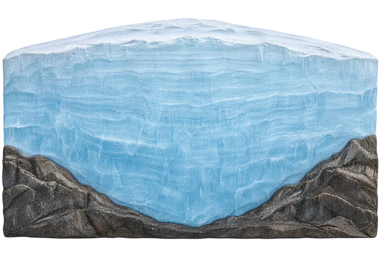
The Bedmap3 mapping, published in 2025, reports a maximum ice thickness of 4 757 m in an unnamed canyon in Wilkes Land, near 76.052° S and 118.378° E. The comparison measures the vertical distance between the ice surface and its contact with the bedrock. This thickness is not the surface elevation above sea level, and the bedrock is not included in the 4 757 m. The British Antarctic Survey gives an average thickness of 2 148 m for ice grounded on the continent, excluding floating ice shelves. These are statistics from the 2025 mapping, not real-time monitoring. The cross-section combines the ice and the rocky terrain in a single illustration. The profile and its width are illustrative: they do not reproduce a transect measured at this location or the full width of the continent. Only the vertical ice thickness is drawn to scale. This represents the continental ice sheet, not seasonal sea ice formed at sea.
Compare the stated dimensions
The comparison uses the number in each fact sheet: altitude, height, diameter, length or distance, depending on the reference. Two values in metres do not necessarily describe the same property.
Source and limitations
Maximum reported by Bedmap3 in 2025 using data and interpolations on a 500 m grid. The release does not provide an uncertainty interval for this local thickness. The 4 757 m describes neither the whole of Antarctica nor its current thickness at every point.
Illustrative cross-section of Antarctic ice over a bedrock base. The compared dimension is the vertical height of the ice alone, between the central surface and the ice–rock interface; the bedrock is excluded. Relief, perspective and width are illustrative, without reproducing a measured transect or the full width of the continent.