
An easy reference to imagine
If Earth were 1 metre in diameter…
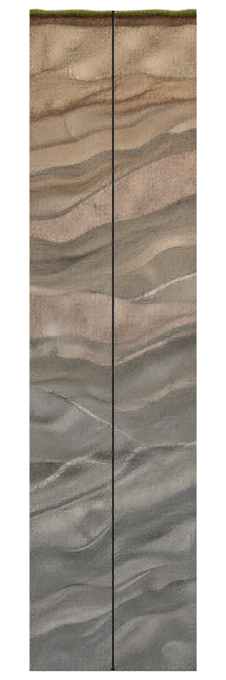
The borehole depth would represent about 0.96 mm beneath its surface. The radius of this globe would be 50 cm.
This contrast describes our access through direct drilling. Seismic waves also tell us about much deeper regions: this percentage therefore does not measure the fraction of Earth that we know about.
What does 12.3 km represent at Earth’s scale?
| Reference | Dimension |
|---|---|
| Kola SG-3 · depth reached | 12.262 km reported vertical depth · 1989 |
| Earth | 12,742 km Mean diameter ≈ 12 740 km |
Percentage of radius: 12.262 km ÷ (12,742 km ÷ 2) × 100 ≈ 0.192 %. Earth’s diameter and radius are not interchangeable.
Both illustrations use a common factor for the stated dimension. Positions aid reading and do not represent physical separation.
Kola’s depth is compared here with a planetary length. The percentage uses Earth’s radius, calculated as half the catalogue’s volume-equivalent diameter; it does not describe a fraction of the local crust.
Check the conventions
Kola SG-3 · depth reached
We compare the reported vertical depth of SG-3, the Kola scientific borehole. David Smythe, designer and leader of the Kola-92 geophysical experiment, gives a vertical depth of 12 262 m reached in 1989. This depth starts from the borehole's local surface reference; the page does not specify a geodetic datum or an instrument tolerance. This dimension is neither an altitude below sea level, the cumulative length of the drilled branches nor a building height. The DFG-SPP ICDP programme page gives 12 261 m: this documented difference of one metre is not a statistical interval. The straight diagram compares the depth with Earth; it does not reproduce the borehole's actual path. Its width, line thickness and rock layers are illustrative, not measured dimensions of the well.
Historical reference from 1989: 12 262 m according to David Smythe; 12 261 m on the DFG-SPP ICDP programme page. This difference between publications is not presented as a measurement uncertainty. The source does not specify the tolerance, exact datum or all borehole deviations. Do not confuse vertical depth, the distance travelled by the tool and the total length of several branches.
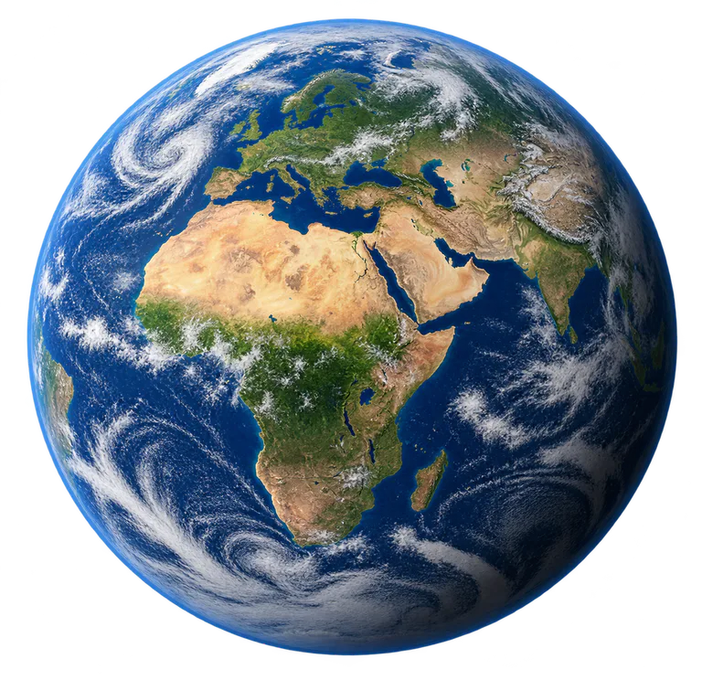
Earth
Mean diameter calculated from the volume-equivalent radius in the NASA/JPL table. Rings and the outer atmosphere are excluded.
Approximate catalogue reference; a source is provided, but the measurement has not been individually audited.
Choose another reference
Keep a common factor to compare both dimensions, or open a clearly identified close-up at a different scale.